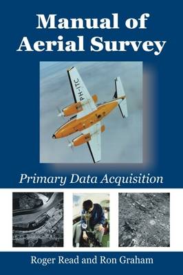
Stock image for illustration purposes only - book cover, edition or condition may vary.
Manual of Aerial Survey: Primary Data Acquisition
Roger Read
€ 73.96
FREE Delivery in Ireland
Description for Manual of Aerial Survey: Primary Data Acquisition
Paperback. .
Primary data acquisition is the front end of mapping, GIS and remote sensing and involves: aviation, navigation, photography, cameras (film and digital systems), GPS systems, surveying (ground control), photogrammetry and computerized systems.This book deals with differential GPS systems, survey flight management systems (both simple and sophisticated), film types, modern film survey cameras such as LH RC-30, Z/I RMK-TOP, digital cameras, infrared methods, laser profilers, airborne laser mapping, satellite systems, laboratory processing (chemical and digital), camera platforms (fixed wing and helicopter). A fresh approach to the subject includes: soft-copy photogrammetry using desk-top computerized systems, film scanners and direct digital camera inputs. ... Read more
Primary data acquisition is the front end of mapping, GIS and remote sensing and involves: aviation, navigation, photography, cameras (film and digital systems), GPS systems, surveying (ground control), photogrammetry and computerized systems.This book deals with differential GPS systems, survey flight management systems (both simple and sophisticated), film types, modern film survey cameras such as LH RC-30, Z/I RMK-TOP, digital cameras, infrared methods, laser profilers, airborne laser mapping, satellite systems, laboratory processing (chemical and digital), camera platforms (fixed wing and helicopter). A fresh approach to the subject includes: soft-copy photogrammetry using desk-top computerized systems, film scanners and direct digital camera inputs. ... Read more
Product Details
Publisher
Whittles Publishing
Format
Paperback
Publication date
2016
Condition
New
Weight
728g
Number of Pages
416
Place of Publication
Caithness, United Kingdom
ISBN
9781849952866
SKU
V9781849952866
Shipping Time
Usually ships in 4 to 8 working days
Ref
99-1
Reviews for Manual of Aerial Survey: Primary Data Acquisition
'...this is a reference book that should be on every photogrammetrist's bookshelf whether they work in government, industry or academia. It has a good mix of theory and practical application to be useful for a broad range of expertise'. Spatial Science
'...is an important reference manual for every professional all over the world involved in surveying the earth from ... Read more
'...is an important reference manual for every professional all over the world involved in surveying the earth from ... Read more
