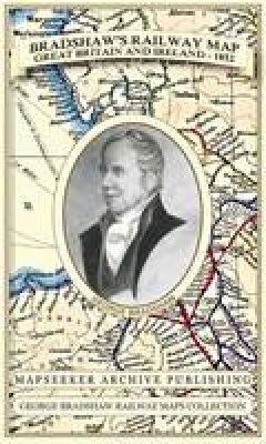
Stock image for illustration purposes only - book cover, edition or condition may vary.
Bradshaw's Railway Folded Map Great Britain and Ireland 1852
George Bradshaw
€ 26.99
€ 26.61
FREE Delivery in Ireland
Description for Bradshaw's Railway Folded Map Great Britain and Ireland 1852
Sheet map, folded. Series: George Bradshaw Railway Maps Collection. Num Pages: 1 pages. BIC Classification: 1DBK; HBTP1; WGF. Category: (G) General (US: Trade). Dimension: 154 x 221 x 9. Weight in Grams: 100.
Especially for those who have obtained the recent facsimile copy of George Bradshaw's tourist's guide book. This detailed and attractive map clearly shows the many railways that had been built at the height of Railway Mania along with hundreds of railway stations throughout Great Britain and Ireland, allowing the enthusiast to follow the routes from a bygone age. Originally published in 1852 by Bradshaw and Blacklock it has now been art worked and re-mastered. George Bradshaw's Railway Map of Great Britain and Ireland is a visual record of when train travel was at its height - when ... Read more
Especially for those who have obtained the recent facsimile copy of George Bradshaw's tourist's guide book. This detailed and attractive map clearly shows the many railways that had been built at the height of Railway Mania along with hundreds of railway stations throughout Great Britain and Ireland, allowing the enthusiast to follow the routes from a bygone age. Originally published in 1852 by Bradshaw and Blacklock it has now been art worked and re-mastered. George Bradshaw's Railway Map of Great Britain and Ireland is a visual record of when train travel was at its height - when ... Read more
Product Details
Publisher
Historical Images Ltd United Kingdom
Number of pages
1
Publication date
2013
Series
George Bradshaw Railway Maps Collection
Condition
New
Weight
100g
Number of Pages
1
Format
Sheet map, folded
Place of Publication
Truro, United Kingdom
ISBN
9781844918041
SKU
V9781844918041
Shipping Time
Usually ships in 4 to 8 working days
Ref
99-1
Reviews for Bradshaw's Railway Folded Map Great Britain and Ireland 1852
