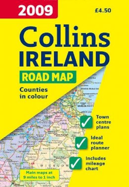

Stock image for illustration purposes only - book cover, edition or condition may vary.
2009 Map of Ireland
Ordnance Survey
€ 4.99
FREE Delivery in Ireland
Description for 2009 Map of Ireland
Sheet map, folded. Full colour map of Ireland at 9 miles to 1 inch (1:570,240), with clear, detailed road network and counties and administrative areas shown in colour. Num Pages: With index. BIC Classification: 1DBR; WTR. Category: (G) General (US: Trade). Dimension: 245 x 140. Weight in Grams: 79.
Full colour map of Ireland at 9 miles to 1 inch (1:570,240), with clear, detailed road network and counties and administrative areas shown in colour.
MAIN FEATURES
This popular map has clear political colouring with counties shown in colour. In addition there are city centre plans of Dublin, Belfast, Cork and Limerick.
INCLUDES
• Key in English, French and German.
• Railway stations, airports and car ferry routes.
• Rivers, lakes and spot heights.
• Distance chart.
Product Details
Condition
Used, Like New
Publisher
HarperCollins Publishers Cheltenham
Publication date
2008
Format
Sheet map, folded
Place of Publication
London, United Kingdom
ISBN
9780007272518
SKU
KRS0003573
Shipping Time
Usually ships in 2 to 4 working days
Ref
99-1
Reviews for 2009 Map of Ireland
