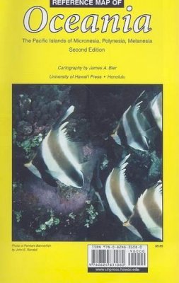
Stock image for illustration purposes only - book cover, edition or condition may vary.
Reference Map of Oceania: The Pacific Islands of Micronesia, Polynesia, Melanesia
James A. Bier
€ 19.69
FREE Delivery in Ireland
Description for Reference Map of Oceania: The Pacific Islands of Micronesia, Polynesia, Melanesia
Sheet map, folded. A comprehensive Pacific map, including a main map and 52 inset maps of the major parts of the region. Principal cities, towns, and villages are shown along with roads, topography, and population figures where available. Time zones for the Pacific and individual countries are also included. Num Pages: colour illustrations. BIC Classification: 1MK; WTRM. Category: (G) General (US: Trade). Dimension: 132 x 145 x 2. Weight in Grams: 56.
Completely revised and updated with enhanced readability, James A. Bier's ""Reference Map of Oceania"" is the most comprehensive Pacific map in existence. Its main map and 52 inset maps of all major parts of the region provide a wealth of information in one source. Principal cities, towns, and villages are shown along with roads, topography, and population figures where available. The main map's Mercator projection is useful for planning routes. Time zones for the Pacific and individual countries are also included. It is the only map that clearly focuses on the political units of Micronesia, Polynesia, and Melanesia, using as its boundaries the 200-mile Extended Economic Zone. With more than 3,400 place names, ""Oceania"" will be an invaluable reference for everyone interested in or living in the Pacific islands, including teachers, students, historians, anthropologists, businesses, and travelers.
Product Details
Publication date
2009
Publisher
University of Hawaii Press
Condition
New
Format
Sheet map, folded
Place of Publication
Honolulu, HI, United States
ISBN
9780824831080
SKU
V9780824831080
Shipping Time
Usually ships in 7 to 11 working days
Ref
99-1
Reviews for Reference Map of Oceania: The Pacific Islands of Micronesia, Polynesia, Melanesia
