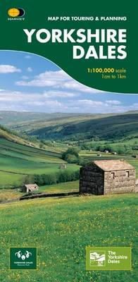
Stock image for illustration purposes only - book cover, edition or condition may vary.
Description for Yorkshire Dales
Sheet map, folded. Num Pages: 1 pages, 10 illustrations. BIC Classification: 1DBKEYK; WTRM. Category: (G) General (US: Trade). Dimension: 241 x 117 x 6. Weight in Grams: 84.
This map provides a colourful overview of the Dales - famous Swaledale, Wensleydale, Wharfedale & Nidderdale. Colour shading makes it easy to pick out the hills & dales. Driveable roads are shown & steep hills marked. There is an introduction to each area, street plans of towns & lots of information on places to visit.
This map provides a colourful overview of the Dales - famous Swaledale, Wensleydale, Wharfedale & Nidderdale. Colour shading makes it easy to pick out the hills & dales. Driveable roads are shown & steep hills marked. There is an introduction to each area, street plans of towns & lots of information on places to visit.
Product Details
Publisher
Harvey Map Services Ltd United Kingdom
Number of pages
1
Publication date
2012
Condition
New
Weight
83 g
Number of Pages
1
Format
Sheet map, folded
Place of Publication
Perthshire, United Kingdom
ISBN
9781851374335
SKU
V9781851374335
Shipping Time
Usually ships in 4 to 8 working days
Ref
99-27
Reviews for Yorkshire Dales
