16%OFF

Stock image for illustration purposes only - book cover, edition or condition may vary.
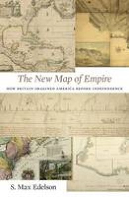
The New Map of Empire: How Britain Imagined America before Independence
S. Max Edelson
€ 47.99
€ 40.36
FREE Delivery in Ireland
Description for The New Map of Empire: How Britain Imagined America before Independence
Hardback. In 1763 British America stretched from Hudson Bay to the Keys, from the Atlantic to the Mississippi. Using maps that Britain created to control its new lands, Max Edelson pictures the contested geography of the British Atlantic world and offers new explanations of the causes and consequences of Britain's imperial ambitions before the Revolution. Num Pages: 420 pages, maps. BIC Classification: HBTQ. Category: (G) General (US: Trade). Dimension: 23 x 15. .
After the Treaty of Paris ended the Seven Years' War in 1763, British America stretched from Hudson Bay to the Florida Keys, from the Atlantic coast to the Mississippi River, and across new islands in the West Indies. To better rule these vast dominions, Britain set out to map its new territories with unprecedented rigor and precision. Max Edelson's The New Map of Empire pictures the contested geography of the British Atlantic world and offers new explanations of the causes and consequences of Britain's imperial ambitions in the generation before the American Revolution. Under orders from King ... Read more
After the Treaty of Paris ended the Seven Years' War in 1763, British America stretched from Hudson Bay to the Florida Keys, from the Atlantic coast to the Mississippi River, and across new islands in the West Indies. To better rule these vast dominions, Britain set out to map its new territories with unprecedented rigor and precision. Max Edelson's The New Map of Empire pictures the contested geography of the British Atlantic world and offers new explanations of the causes and consequences of Britain's imperial ambitions in the generation before the American Revolution. Under orders from King ... Read more
Product Details
Publisher
Harvard University Press
Format
Hardback
Publication date
2017
Condition
New
Weight
28g
Number of Pages
420
Place of Publication
Cambridge, Mass, United States
ISBN
9780674972117
SKU
V9780674972117
Shipping Time
Usually ships in 7 to 11 working days
Ref
99-50
About S. Max Edelson
S. Max Edelson is Associate Professor of History at the University of Virginia.
Reviews for The New Map of Empire: How Britain Imagined America before Independence
The New Map of Empire makes a major contribution to our understanding of colonial America. Edelson has compiled an extraordinary collection of maps that illuminate the British Atlantic world, and puts them in context superbly to describe the empire's wider cartographic history. The companion website featuring these maps is quite simply spectacular. By telling the story of the officials, surveyors, ... Read more
