14%OFF

Stock image for illustration purposes only - book cover, edition or condition may vary.
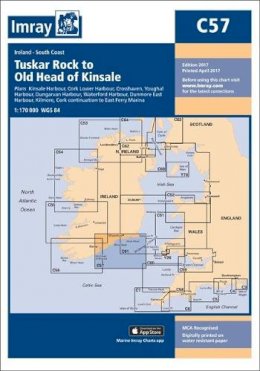
C57 Tuskar Rock/Old Head Map (Imray Chart)
Imray
€ 34.99
€ 30.07
FREE Delivery in Ireland
Description for C57 Tuskar Rock/Old Head Map (Imray Chart)
Sheet map. Series: IMRAY CHART. BIC Classification: WGG. .
Plans included:Kinsale Harbour (1:20 000)Cork Lower Harbour (1:35 000)Crosshaven (1:15 000)Youghal Harbour (1:25 000)Dungarvan Harbour (1:32 500)Waterford Harbour (1:55 000)Dunmore East Harbour (1:6000)Kilmore (1:25 000)Cork continuation to East Ferry Marina (1:35 000)On this 2017 edition the latest depth surveys have been applied. The chart specification has been improved to show coloured light flashes. There has been general updating throughout.
Plans included:Kinsale Harbour (1:20 000)Cork Lower Harbour (1:35 000)Crosshaven (1:15 000)Youghal Harbour (1:25 000)Dungarvan Harbour (1:32 500)Waterford Harbour (1:55 000)Dunmore East Harbour (1:6000)Kilmore (1:25 000)Cork continuation to East Ferry Marina (1:35 000)On this 2017 edition the latest depth surveys have been applied. The chart specification has been improved to show coloured light flashes. There has been general updating throughout.
Product Details
Publisher
Imray Charts Folded
Condition
New
Series
IMRAY CHART
Publication date
2017
Number of Pages
1
Format
Sheet map
Place of Publication
Huntingdon, United Kingdom
ISBN
9781846238758
SKU
V9781846238758
Shipping Time
Usually ships in 4 to 8 working days
Ref
99-1
About Imray
Imray Laurie Norie & Wilson Ltd was formed in 1904 when three private chart publishing firms amalgamated. Each of these London companies had a long history going back to the mid-18th century. James Imray and Son published an extensive list of charts and pilot books. RH Laurie and Sons was associated with charts published for the East India Company. Norie ... Read more
Reviews for C57 Tuskar Rock/Old Head Map (Imray Chart)
