22%OFF

Stock image for illustration purposes only - book cover, edition or condition may vary.
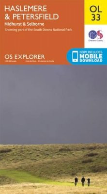
Haslemere & Petersfield, Midhurst & Selborne (OS Explorer Map)
Ordnance Survey
€ 17.99
€ 13.96
FREE Delivery in Ireland
Description for Haslemere & Petersfield, Midhurst & Selborne (OS Explorer Map)
Sheet map, folded. OS Explorer is the Ordnance Survey's most detailed map and is recommended for anyone enjoying outdoor activities like walking, horse riding and off-road cycling. Providing complete GB coverage the series details essential information such as youth hostels, pubs and visitor information as well as rights of way, permissive paths and bridleways. Series: OS Explorer Map. BIC Classification: 1DBKESH; 1DBKESR; 1DBKESX; WSZC; WTRM. Category: (G) General (US: Trade). Dimension: 241 x 135 x 32. Weight in Grams: 128.
OS Explorer is the Ordnance Survey's most detailed map and is recommended for anyone enjoying outdoor activities like walking, horse riding and off-road cycling. The OS Explorer range of OL maps now includes a digital version of the paper map, accessed through the OS smartphone app, OS Maps. Providing complete GB coverage the series details essential information such as youth hostels, pubs and visitor information as well as rights of way, permissive paths and bridleways.
OS Explorer is the Ordnance Survey's most detailed map and is recommended for anyone enjoying outdoor activities like walking, horse riding and off-road cycling. The OS Explorer range of OL maps now includes a digital version of the paper map, accessed through the OS smartphone app, OS Maps. Providing complete GB coverage the series details essential information such as youth hostels, pubs and visitor information as well as rights of way, permissive paths and bridleways.
Product Details
Publisher
Ordnance Survey
Publication date
2015
Series
OS Explorer Map
Condition
New
Weight
130g
Format
Sheet map, folded
Place of Publication
Hants, United Kingdom
ISBN
9780319242728
SKU
V9780319242728
Shipping Time
Usually ships in 4 to 8 working days
Ref
99-17
Reviews for Haslemere & Petersfield, Midhurst & Selborne (OS Explorer Map)
