8%OFF

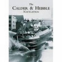
Stock image for illustration purposes only - book cover, edition or condition may vary.
The Calder and Hebble Navigation
Mike Taylor
€ 17.99
€ 16.54
FREE Delivery in Ireland
Description for The Calder and Hebble Navigation
Paperback.
The River Calder rises in the Pennines north of Todmorden and flows to Sowerby Bridge and Salterhebble, where it receives the Hebble Brook. The river then flows through Elland, Brighouse, Mirfield and Dewsbury before reaching the Aire Calder Navigation at Wakefield. The river was made navigable in the 1770s and soon after, with the construction of the Rochdale, Huddersfield and Huddersfield Narrow canals, became part of the Mersey-Humber trade routes. Trade was brisk for many years but by the 1940s the canal was in decline; the Halifax branch was closed and surrounding canals abandoned. However, commecial traffic on the navigation ... Read more
The River Calder rises in the Pennines north of Todmorden and flows to Sowerby Bridge and Salterhebble, where it receives the Hebble Brook. The river then flows through Elland, Brighouse, Mirfield and Dewsbury before reaching the Aire Calder Navigation at Wakefield. The river was made navigable in the 1770s and soon after, with the construction of the Rochdale, Huddersfield and Huddersfield Narrow canals, became part of the Mersey-Humber trade routes. Trade was brisk for many years but by the 1940s the canal was in decline; the Halifax branch was closed and surrounding canals abandoned. However, commecial traffic on the navigation ... Read more
Product Details
Publisher
The History Press Ltd United Kingdom
Number of pages
128
Format
Paperback
Publication date
2002
Condition
New
Number of Pages
128
Place of Publication
Stroud, United Kingdom
ISBN
9780752427553
SKU
V9780752427553
Shipping Time
Usually ships in 5 to 9 working days
Ref
99-10
Reviews for The Calder and Hebble Navigation
