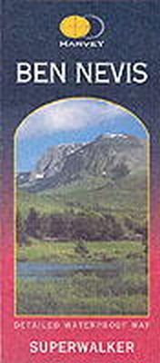
Stock image for illustration purposes only - book cover, edition or condition may vary.
Ben Nevis
Harvey Map Services Ltd.
€ 21.66
FREE Delivery in Ireland
Description for Ben Nevis
Sheet map, folded. Series: Superwalker. Num Pages: 2 maps. BIC Classification: 1DBKS; WTRM. Category: (G) General (US: Trade). Dimension: 249 x 138 x 2. Weight in Grams: 68.
Ben Nevis with the Mamores and Grey Corries ranges at 1:25,000 on a double-sided, waterproof and tear-resistant map from Harvey Map Services in their Superwalker series, with the peak area also shown in greater detail at 1:12,500. The map divides the area north/south, with a good overlap between the sides, extending from Fort William past Loch Treig to Chno Deang, plus south to Loch Leven and the Blackwater Reservoir. The enlargement highlights the bad visibility descent route including instructions. The main map at 25K also highlights recommended mountain bike trails.
Ben Nevis with the Mamores and Grey Corries ranges at 1:25,000 on a double-sided, waterproof and tear-resistant map from Harvey Map Services in their Superwalker series, with the peak area also shown in greater detail at 1:12,500. The map divides the area north/south, with a good overlap between the sides, extending from Fort William past Loch Treig to Chno Deang, plus south to Loch Leven and the Blackwater Reservoir. The enlargement highlights the bad visibility descent route including instructions. The main map at 25K also highlights recommended mountain bike trails.
Product Details
Publisher
Harvey Map Services Ltd United Kingdom
Publication date
2005
Series
Superwalker
Condition
New
Format
Sheet map, folded
Place of Publication
Perthshire, United Kingdom
ISBN
9781851374021
SKU
V9781851374021
Shipping Time
Usually ships in 4 to 8 working days
Ref
99-1
Reviews for Ben Nevis
